Mapping U.S. and Israeli Attacks on Iran and Tehran’s Retaliatory Strikes
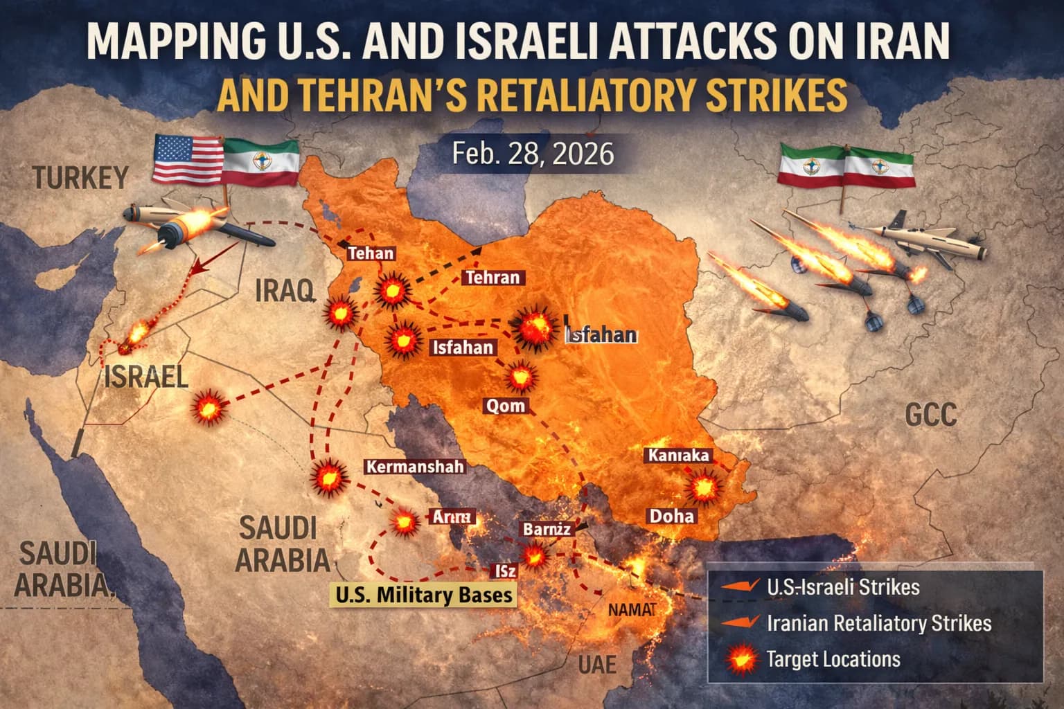
Dateline: Washington / Tehran / Middle East, Feb. 28, 2026.A coordinated series of military operations by the United States and Israel struck multiple locations across Iran on Feb. 28, 2026, with Tehran responding within hours by launching missiles and drones toward Israel and several U.S. military bases in the broader Middle East. Maps compiled from official statements and open sources show the geographic scope of the strikes and retaliatory actions, illustrating an unprecedented escalation in regional hostilities
US‑Israeli Targets Across Iran
Military and strategic targets struck inside Iran included urban districts, command and intelligence facilities, missile storage areas and nuclear‑linked sites. Satellite imagery and verification by independent observers indicate damage in the capital city of Tehran, including at compounds associated with Iran’s leadership and intelligence apparatus.
Key regions identified on strike maps include:
Tehran — extensive damage seen near government and military installations.
Isfahan — central Iran site linked to missile production and nuclear research.
Qom — province associated with deeply buried enrichment facilities.
Kermanshah and Tabriz — linked to missile storage and launch infrastructure.
These locations correspond to long‑standing strategic nodes in Iran’s defense and nuclear programs.
Public tracking data and satellite imagery also show that several secondary targets were hit in towns such as Karaj and near the port of Kenarak, where naval facilities are located, and at industrial and logistical sites within the country.
Civilian Impact and Contested Incidents
While the military campaign’s stated focus was on strategic infrastructure, official Iranian outlets reported significant civilian casualties, including in southern Iran’s Hormozgan Province. Iranian authorities said an attack on a primary school in the city of Minab killed dozens of children and injured many more; these figures have not been independently verified by international agencies.
Tehran’s Retaliatory Strikes
Within hours of the U.S. and Israeli strikes, Iran’s armed forces launched missiles and unmanned aerial vehicles toward Israel and across the Gulf region, where U.S. bases host American forces and coalition operations. Explosions and intercepts were reported over Israeli territory and in airspace near Gulf states, including Qatar, Kuwait, Bahrain and the United Arab Emirates.
Iran’s response explicitly targeted installations associated with U.S. military presence in the region. Some Gulf states reported debris and interceptions over urban areas, with at least one civilian reportedly killed by falling debris, according to Gulf government statements.
Broader Regional Dynamics
The maps tracking these events show the widening geographic footprint of the conflict. Beyond Iran’s borders, Iranian launches and counter‑aircraft engagements impacted territories that host U.S. and allied military infrastructure, drawing several Middle Eastern nations into heightened alert status.
International reaction has been swift, with the United Nations and regional organizations calling for restraint as the risk of wider escalation increases.
Olha Pashchenko
Contributing writer at EUReflect.
Follow EUReflect
See more of our reporting on Google
Mark EUReflect as a preferred source and our stories are ranked higher for you in Top Stories, Discover and Google News — and carry a “preferred” badge when they are cited in AI results.
Add EUReflect as a preferred source